A scientific approach at the service of the geotechnical engineer

GeoSol Studio was born from a simple conviction: reliable knowledge of the subsurface is a prerequisite for every infrastructure. In West Africa, this knowledge has long been fragmented, costly to produce, and disconnected from the actual variability of local soils.

Why GeoSol Studio exists

A concrete problem, a rigorous response

1,446 buildings at risk of collapse recorded in Senegal in 2021. These structural failures share a common origin: subsurface conditions that were poorly characterized before construction — either because the tools available were not suited to regional soils, or because the methods used remained fragmented and non-integrated.
01

International tools not calibrated for regional soils

Existing solutions are powerful but designed for European or North American geological contexts, and priced beyond the reach of most West African engineering firms.

02

Fragmented data, never linked to a map

Borehole reports, laboratory tests and foundation calculations are produced in separate tools — the continuity between field measurement and final design is lost at each step.

03

Uncertainty rarely quantified or communicated

Any geotechnical model carries uncertainties. Without a rigorous method to measure and communicate them, design decisions are made with a level of reliability that remains unknown.

What GeoSol Studio is

An integrated geotechnical engineering platform, born in Senegal

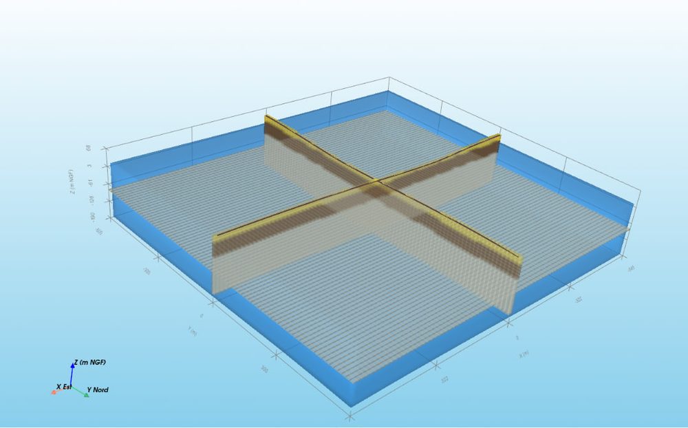
GeoSol Studio was developed and field-validated in Senegal at the École Polytechnique de Thiès. It brings together, within a single integrated environment, the scientific methods that a geotechnical engineering firm applies across multiple disconnected tools today: subsurface characterization by geostatistical interpolation, pressuremeter testing, laboratory tests, and foundation design compliant with Eurocode 7.

GeoSol Studio is not simply a software application. It is a methodology — documented, scientifically grounded, and designed to serve the engineer's professional judgment, not to replace it. Every result it produces is accompanied by a quantified reliability indicator. Every method it implements is explicitly described with its assumptions and its domain of validity.

What we believe in

Three non-negotiable principles

Scientific rigour before convenience

No simplification that distorts the physical reality of the subsurface is acceptable. GeoSol Studio is designed to make rigour accessible, not to make it optional.

The engineer's judgment, always first

GeoSol Studio produces structured, quantified information that the engineer interprets and upon which they base their judgment. It never produces a decision in place of the engineer who signs the report.

A regional anchor, deliberately maintained

GeoSol Studio's methods are calibrated on West African geological data, not simply transposed from other contexts. This choice — more demanding — is what gives our results their relevance in the field.

Our commitments

What we commit to, not just what we offer

Rigorous field validation. Every method integrated into GeoSol Studio has been tested on real sites in Senegal before being made available to users. Field results and cross-validation indicators are public and accessible.

Transparency about uncertainty. Every estimation produced by GeoSol Studio is accompanied by its associated uncertainty — RMSE, bias, cross-validation indicator — visible in the project and in the deliverable. Reliability is a datum, not an impression.

Full compliance with standards in force. Foundation design (shallow and deep) follows Eurocode 7 / NF P94-261 and NF P94-262, without approximation or shortcut — these standards set the minimum level, not the ceiling.

A pricing policy accessible to regional firms. GeoSol Studio was built for West Africa, and its pricing reflects this: from the free demo to professional plans at a fraction of the international alternatives, including a dedicated academic offer.

Discover GeoSol Studio in your context

Request a free demonstration See all features